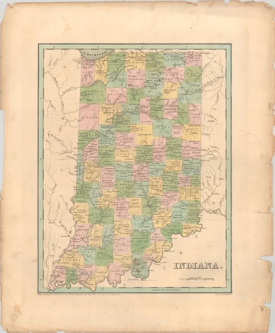
Subject: Indiana
Period: 1838 (published)
Publication: An Illustrated Atlas, Geographical, Statistical, and Historical, of the United States...
Color: Hand Color
Size:
11.1 x 14.3 inches
28.2 x 36.3 cm
A nice copper engraved map of the state with counties individually hand colored. The map details topographical, geographical and political information with the "Miami Reserve" near the center of the state. The emerging railroad network is noted, as well as a wide reaching canal system. County development is current to 1837. This map should not be confused with the more common maps from Bradford’s Comprehensive Atlas - it is several inches larger and carries much more information. Engraved by G.W. Boynton.
References: Phillips (Atlases) #1381; Ristow pp. 270-271.
Condition: B+
Full contemporary color with minor staining in the lower image and an archivally repaired edge tear at right that extends 0.5" into the image. The edges of the sheet are tattered and chipped, well away from the map image.