Current Auction
Lot 703
Current Auction

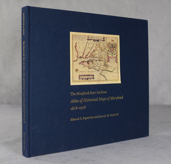
"The Maryland State Archives - Atlas of Historical Maps of Maryland 1608-1908"

Subject: References, Maryland

Period: 2003 (published)

Publication:

Color: Printed Color

Size:
14.8 x 12.8 inches
37.6 x 32.5 cm
Download High Resolution Image
(or just click on image to launch the Zoom viewer)

This is the updated and expanded version of Edward C. Papenfuse and Joseph M. Coale III's The Hammond-Harwood House - Atlas of Historical Maps of Maryland, 1608-1908 published in 1982. The volume traces the cartographic history of Maryland from its appearance on John Smith's 1608 Virginia map into the early twentieth century. Features full-color reproductions of over 250 historical maps, including a number that have never been published before. Published by Johns Hopkins University Press. 223 pages. Hardbound in blue cloth with illustration and gilt titles on cover.

References:

Condition: A

Contents are clean and tight. Corners are slightly bumped.

Estimate: $90 - $110

Current High Bid:
$0

Reserve: Reserve Not Met
Next Bid: $45

Bid Increments
Under $50$1
$50 - $99$5
$100 - $249$10
$250 - $499$25
$500 - $999$50
Terms & Conditions