Catalog Archive
Auction 205, Lot 614

"Africae Magna pars ad Illustrationem Historiae Ecclesiasticae Imprimis Faciens Magno Studio et Labore ex Antiquis Auctoribus Concinnata...", Seutter, Matthias

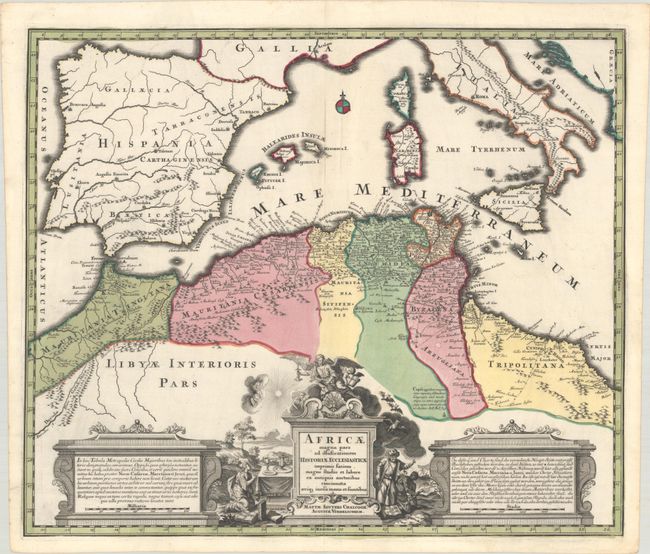
Subject: Northern Africa

Period: 1730 (circa)

Publication:

Color: Hand Color

Size:
23 x 19.4 inches
58.4 x 49.3 cm
Download High Resolution Image
(or just click on image to launch the Zoom viewer)

This attractive map focuses on the regions controlled by the Moors in northern Africa and the Iberian Peninsula in the latter part of the medieval period. The map displays good detail along the north African coast from Morocco to Libya. It also covers the western Mediterranean with the islands of Sardinia, Corsica, Malta and the Balearics. Sicily features a smoking Mount Aetna. Three decorative cartouches complete the composition.

References:

Condition: A+

A crisp impression on a clean watermarked sheet with full contemporary color. There is a small printer's crease adjacent to the upper centerfold. A fine example.

Estimate: $240 - $300

Unsold

Closed on 9/10/2025

Archived