Catalog Archive
Auction 205, Lot 550
"Nieuwe Kaart van het Turksche Ryk Gelegen in Europa, Asia en Africa", Tirion, Isaac
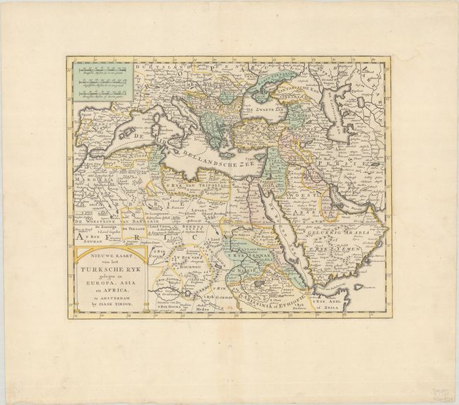
Subject: Mediterranean & Middle East
Period: 1732 (dated)
Publication: Nieuwe en Beknopte Hand Atlas
Color: Hand Color
Size:
13.8 x 11.2 inches
35.1 x 28.4 cm
Download High Resolution Image
(or just click on image to launch the Zoom viewer)
(or just click on image to launch the Zoom viewer)