Catalog Archive
Auction 205, Lot 518

"Illyricu seu Dominium Turcicum in Europa", Scherer, Heinrich
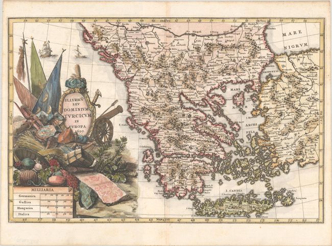
Subject: Balkans

Period: 1699 (dated)

Publication: Atlas Novus

Color: Hand Color

Size:
14.1 x 9.2 inches
35.8 x 23.4 cm
Download High Resolution Image
(or just click on image to launch the Zoom viewer)

This handsome map of the Balkans extends north to Belgrade, with the Danube River running across the top of the map. The map depicts the ancient region of Illyria along the western part of the Balkan peninsula, and is filled with depictions of mountains, rivers and towns. The dominant title cartouche features flags, military weaponry, and a basket overflowing with fruit. Dated 1699 but published in 1703.

References: Shirley (BL Atlases) T.SHER-1a #61.

Condition: A

A crisp impression on a bright sheet with a hint of toning along the centerfold.

Estimate: $275 - $350

Sold for: $200

Closed on 9/10/2025

Archived