Catalog Archive
Auction 205, Lot 515
"Nieuwe Kaart van de Crim, de Zwarte Zee, en Omleggende Landen", Ratelband, Johannes
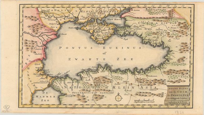
Subject: Black Sea
Period: 1730 (circa)
Publication: Kleyne en Beknopte Atlas, of Tooneel des Oorlogs in Europa
Color: Hand Color
Size:
12.1 x 7.3 inches
30.7 x 18.5 cm
Download High Resolution Image
(or just click on image to launch the Zoom viewer)
(or just click on image to launch the Zoom viewer)