Catalog Archive
Auction 205, Lot 509
"Taurica Chersonesus", Mercator/Jansson
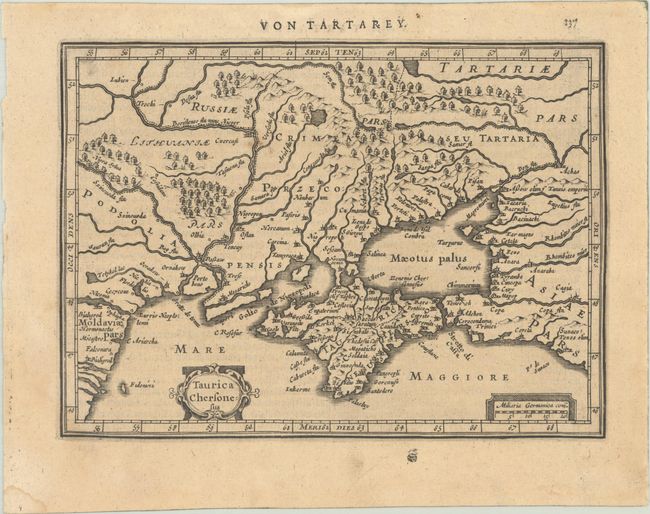
Subject: Ukraine
Period: 1631 (published)
Publication: Atlas Minor
Color: Black & White
Size:
8 x 5.8 inches
20.3 x 14.7 cm
Download High Resolution Image
(or just click on image to launch the Zoom viewer)
(or just click on image to launch the Zoom viewer)