Catalog Archive
Auction 205, Lot 508
"Imperii Moscovitici Pars Australis in Lucem Edita per Guillielmum de l'Isle, Celeberr. Regis Galliae Geographum; nunc Excusa et Venalis Exposita", Seutter, Matthias
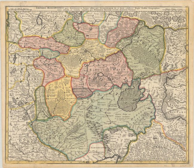
Subject: Russia & Ukraine
Period: 1730 (circa)
Publication:
Color: Hand Color
Size:
22.8 x 19.6 inches
57.9 x 49.8 cm
Download High Resolution Image
(or just click on image to launch the Zoom viewer)
(or just click on image to launch the Zoom viewer)