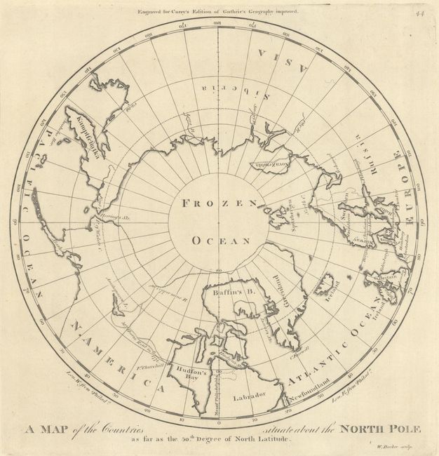
Subject: North Pole
Period: 1800 (circa)
Publication: Carey's General Atlas
Color: Black & White
Size:
9.4 x 9.3 inches
23.9 x 23.6 cm
Mathew Carey was a seminal figure in early American publishing; establishing the first publishing firm to specialize in cartography and issuing the first atlas devoted exclusively to American maps. He set up an elaborate cottage system of craftsmen for compiling, engraving, printing, and coloring maps. This practice was emulated by later American cartographic publishers such as John Melish and Henry S. Tanner. The American Atlas concept was also adopted by other publishers in both the United States and Europe.
This is the second state of the first map of the North Pole published by an American cartographer. The map illustrates information from the late eighteenth century explorations in the Canadian north by Hearne and Mackenzie. Engraved by William Barker. Plate number 44 at top right.
References: cf. Phillips (A) #1365-44; Wheat & Brun #915.
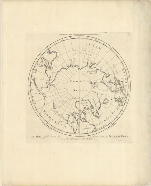
Condition: A
A nice impression with light soiling in the ample blank margins.