Catalog Archive
Auction 205, Lot 413
"Comitatus Hollandiae Nova Descriptio, ex Optimis & Novissimis Delineationibus Designata", Jansson, Jan
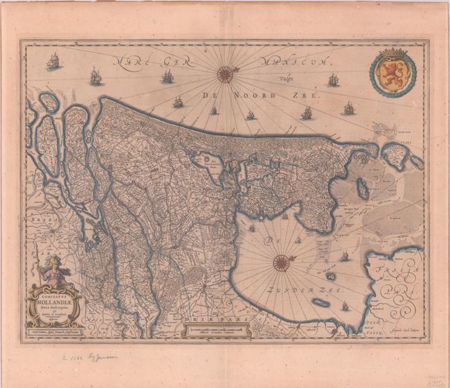
Subject: Western Netherlands
Period: 1652 (circa)
Publication: Nouvel Atlas
Color: Hand Color
Size:
20.8 x 15.4 inches
52.8 x 39.1 cm
Download High Resolution Image
(or just click on image to launch the Zoom viewer)
(or just click on image to launch the Zoom viewer)