Catalog Archive
Auction 205, Lot 410
"Insulae Danicae in Mari Balthico Sitae, Utpote Zeelandia, Fionia, Langelandia, Lalandia, Falstria, Fembria Mona...", Homann, Johann Baptist
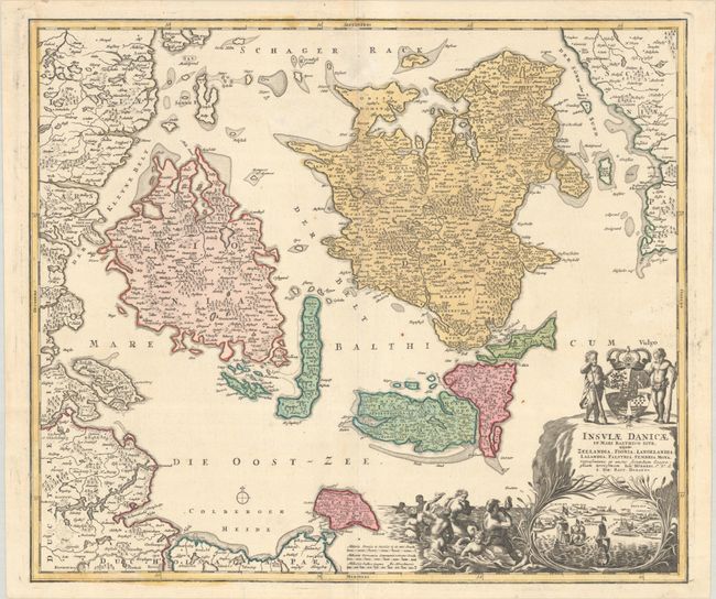
Subject: Danish Islands
Period: 1720 (circa)
Publication:
Color: Hand Color
Size:
22.7 x 19.4 inches
57.7 x 49.3 cm
Download High Resolution Image
(or just click on image to launch the Zoom viewer)
(or just click on image to launch the Zoom viewer)