Catalog Archive
Auction 205, Lot 400
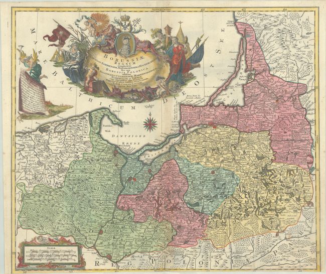
"Borussiae Regnum Complectens Circulos Sambiensem, Natangiensem et Hockerlandiae nec non Borussia Polonica Exhibens...", Lotter, Tobias Conrad
Subject: Baltic
Period: 1759 (dated)
Publication:
Color: Hand Color
Size:
22.6 x 19.3 inches
57.4 x 49 cm
Download High Resolution Image
(or just click on image to launch the Zoom viewer)
(or just click on image to launch the Zoom viewer)