Catalog Archive
Auction 205, Lot 393
"Baltia, quae et Scandia, Finningia, Cimbrica Chersonesus &c.", Sanson, Nicolas Fils
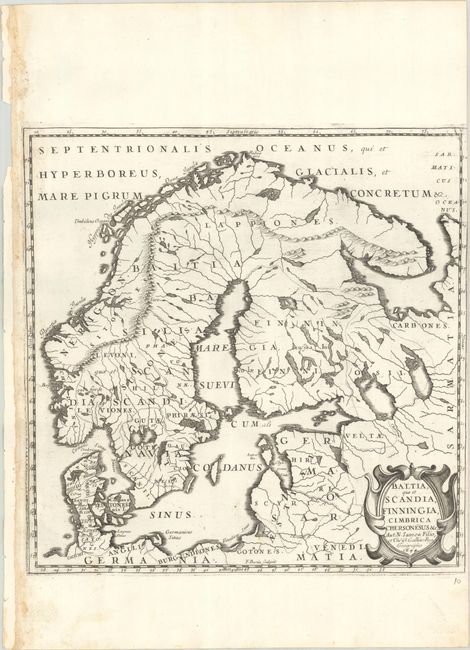
Subject: Scandinavia
Period: 1694 (dated)
Publication:
Color: Black & White
Size:
12.6 x 12.9 inches
32 x 32.8 cm
Download High Resolution Image
(or just click on image to launch the Zoom viewer)
(or just click on image to launch the Zoom viewer)