Current Auction
Lot 38
Current Auction

"Nieuwe Kaart van het Oostelykste Deel der Weereld, Dienende tot Aanwyzing van de Scheepstogten der Nederlanderen naar Oostindie Volgens de Laatste Ontdekkingen", Tirion, Isaac

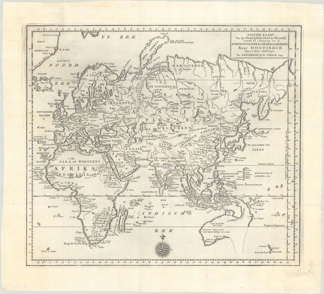
Subject: Eastern Hemisphere

Period: 1753 (dated)

Publication: Hedendaagsche Historie...

Color: Black & White

Size:
14.3 x 12.5 inches
36.3 x 31.8 cm
Download High Resolution Image
(or just click on image to launch the Zoom viewer)

This finely engraved map of the Eastern Hemisphere provides an excellent view of the still evolving cartography of the Far East. The depiction of East Asia includes an extended landmass beyond the Kamchatka Peninsula, as well as the outdated ideas of Kompagnies Land and Land Jeso. The islands of the Philippines and Indonesia are not well shaped, and Australia is a very odd shape that incorporates New Guinea, with most of the southern and eastern coastlines shown as dotted lines. New Zealand is just a small fragment of coastline. The interior of Africa is mostly blank with the Nile's source correctly located. A lovely 32-point compass rose decorates the map at bottom.

References:

Condition: A

A crisp impression on a sheet with the watermark of papermaker B. Brun and a bit of printer's ink residue. Issued folding.

Estimate: $240 - $300

Current High Bid:
$0

Reserve: Reserve Not Met
Next Bid: $120

Bid Increments
$100 - $249$10
$250 - $499$25
$500 - $999$50
$1,000 - $2,499$100
Terms & Conditions