Subject: World
Period: 1835 (circa)
Publication:
Color: Hand Color
Size:
10.2 x 5.5 inches
25.9 x 14 cm
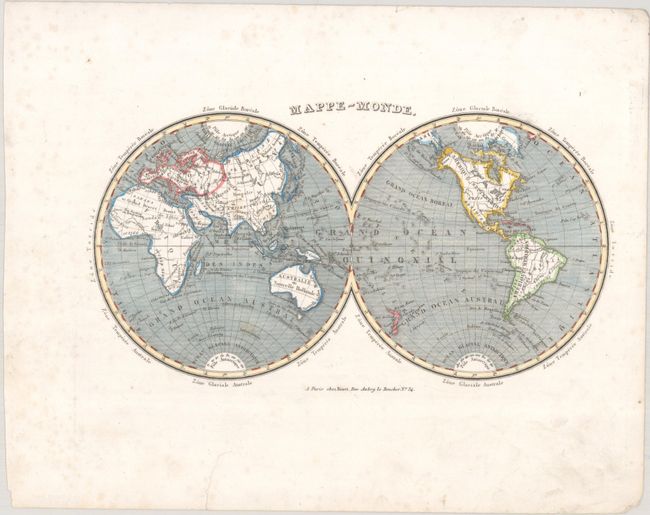
This handsome double hemisphere map presents the world in nice detail including countries, rivers, lakes and oceans. The map reflects the latest geographic discoveries brought back to Paris by navigators and explorers. Many islands and island groups appear in the oceans and offshore regions around the world. The coasts of Australia have now been fully explored and Tasmania, formerly Van Diemen's Land, is now shown separated from Australia by the Bass Strait. New island groups in the Pacific have also been located and named, and a few areas in the Antarctic are beginning to take shape including Graham Land and Enderby Land. America's Pacific Northwest coast and Alaska have also been fully explored and charted.
References:
Condition: B+
A crisp impression on a bright sheet with a few faint spots in the image. There is some light foxing in the blank margins and an archivally repaired edge tear confined to the bottom blank margin.