Catalog Archive
Auction 205, Lot 240
NO RESERVE
"Map of Massachusetts and Rhode Island", Thomas, Cowperthwait & Co.
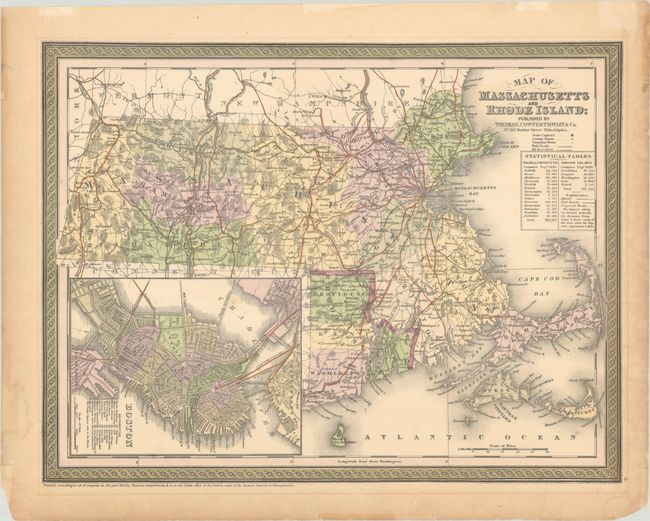
Subject: Massachusetts & Rhode Island
Period: 1850 (dated)
Publication:
Color: Hand Color
Size:
15.3 x 11.7 inches
38.9 x 29.7 cm
Download High Resolution Image
(or just click on image to launch the Zoom viewer)
(or just click on image to launch the Zoom viewer)