Catalog Archive
Auction 204, Lot 68
NO RESERVE
"A New Map of North America, Agreeable to the Latest Discoveries", Wilkinson, Robert
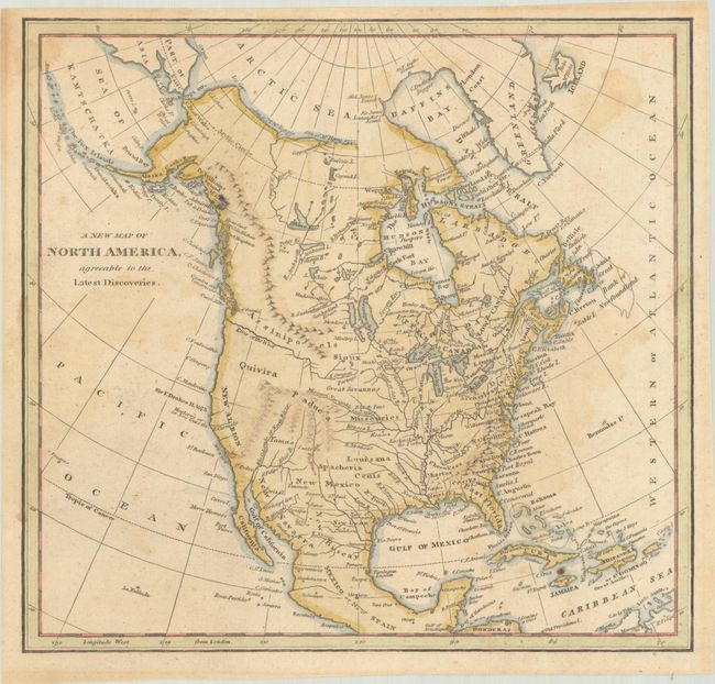
Subject: North America
Period: 1794 (circa)
Publication:
Color: Hand Color
Size:
9.1 x 8.5 inches
23.1 x 21.6 cm
Download High Resolution Image
(or just click on image to launch the Zoom viewer)
(or just click on image to launch the Zoom viewer)