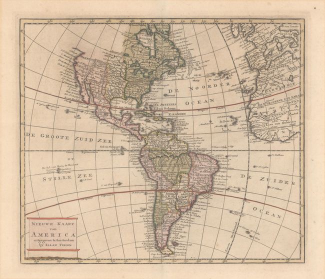
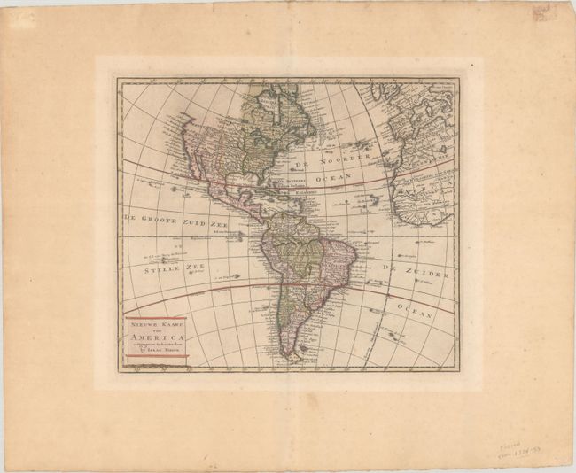
Subject: Western Hemisphere - America
Period: 1769 (circa)
Publication: Nieuwe en Beknopte Hand-Atlas
Color: Hand Color
Size:
12.6 x 10.9 inches
32 x 27.7 cm
This copper engraved map of the Americas shows good detail throughout. It depicts the colonial powers of Britain, France, and Spain divided into roughly thirds in North America. The northwest portion of North America above C. Blank is completely blank. South America is well mapped with the interior labeled 't Land der Amazonen. The map also includes the western portion of Europe and Africa.
References: Koeman, Tir 4 #95; Shirley (BL Atlases) T.TIR-2a.
Condition: A
A crisp impression with full contemporary color on a sheet with very wide margins and the watermarks of a Strasbourg Lily and "I Villedary." There is light toning and a couple light tape stains in the blank margins, well away from the map image.