Catalog Archive
Auction 204, Lot 524
NO RESERVE
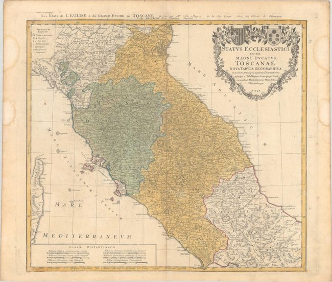
"Status Ecclesiastici nec non Magni Ducatus Toscanae Nova Tabula Geographica...", Mayer/Homann Heirs
Subject: Central Italy
Period: 1748 (dated)
Publication:
Color: Hand Color
Size:
21 x 18.9 inches
53.3 x 48 cm
Download High Resolution Image
(or just click on image to launch the Zoom viewer)
(or just click on image to launch the Zoom viewer)