Catalog Archive
Auction 204, Lot 516
"Italia in suos Status Divisa et ex Prototypo del'Isliano Desumta Elementis Insuper Geographicae Schazianis...", Homann Heirs
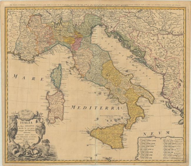
Subject: Italy
Period: 1742 (dated)
Publication:
Color: Hand Color
Size:
22.5 x 19.3 inches
57.2 x 49 cm
Download High Resolution Image
(or just click on image to launch the Zoom viewer)
(or just click on image to launch the Zoom viewer)