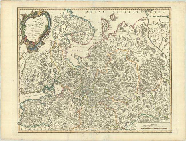
Subject: Russia in Europe
Period: 1753 (dated)
Publication: Atlas Universel
Color: Hand Color
Size:
23.4 x 19 inches
59.4 x 48.3 cm
This large and remarkably detailed map covers the region from the Gulf of Finland and St. Petersburg east to the Ural Mountains, here called the Monts Poyas. Riga is located along the Livonian-Polish border, and Moscow is shown in the extreme south within the map's border. Most of Finland and northwestern Russia is included. Details include mountains, rivers, forests, and scores of place names. The large decorative title cartouche fills the upper left corner.
References: Pedley #79.
Condition: A
Contemporary outline color in the map with later color in the cartouche, on watermarked paper with minor extraneous creasing and light toning along the deckled edges of the sheet. A short tear in the bottom margin has been archivally repaired.