Catalog Archive
Auction 204, Lot 448
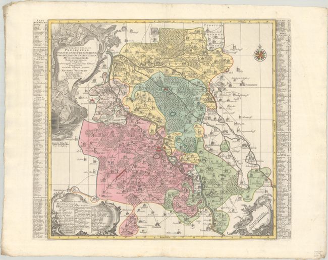
"Electoratus Saxonici Praefecturae Annaburgensis Pretzschens, Torgaviensis Schweinicensis, Muhlbergensis Studio Geographico...", Seutter/Lotter
Subject: Eastern Germany
Period: 1730 (circa)
Publication:
Color: Hand Color
Size:
20.5 x 19.8 inches
52.1 x 50.3 cm
Download High Resolution Image
(or just click on image to launch the Zoom viewer)
(or just click on image to launch the Zoom viewer)