Catalog Archive
Auction 204, Lot 418
"Blaisois. Blesiensis Territorii hanc Tabulam, Describebat... [on sheet with] Lemovicum Totius et Confinium Provinciarum Quantum ad Dioecesim Lemovicensem...", Ortelius, Abraham
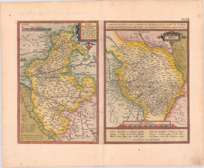
Subject: Central France
Period: 1601 (published)
Publication: Theatrum Orbis Terrarum
Color: Hand Color
Size:
18.5 x 13.2 inches
47 x 33.5 cm
Download High Resolution Image
(or just click on image to launch the Zoom viewer)
(or just click on image to launch the Zoom viewer)