Catalog Archive
Auction 204, Lot 387
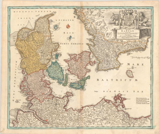
"Regni Daniae in quo sunt Ducatus Holsatia et Slesvicum Insulae Danicae Provinciae Iutia Scania Blekingia Nova Tabula", Homann, Johann Baptist
Subject: Denmark & Southern Sweden
Period: 1720 (circa)
Publication:
Color: Hand Color
Size:
22.7 x 19.1 inches
57.7 x 48.5 cm
Download High Resolution Image
(or just click on image to launch the Zoom viewer)
(or just click on image to launch the Zoom viewer)