Catalog Archive
Auction 204, Lot 302
NO RESERVE
"Kaart van de Aller-Heiligen Baay waar aan de Hoofdstad Legt van Brazil", Tirion, Isaac
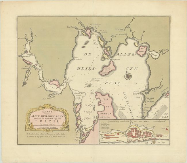
Subject: Baia de Todos os Santos, Brazil
Period: 1769 (circa)
Publication: Nieuwe en Beknopte Hand-Atlas
Color: Hand Color
Size:
15.9 x 13.5 inches
40.4 x 34.3 cm
Download High Resolution Image
(or just click on image to launch the Zoom viewer)
(or just click on image to launch the Zoom viewer)