Catalog Archive
Auction 204, Lot 297
"Carte du Nouv. Rme. de Grenade, de la Noule. Andalousie, et de la Guyane, avec les Pays Limitrophes qui en sont au Sud", Bonne, Rigobert
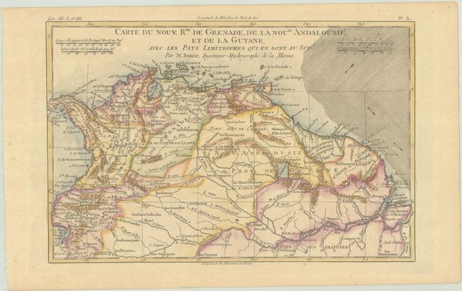
Subject: Northern South America
Period: 1780 (circa)
Publication: Atlas de Toutes les Parties Connues du Globe Terrestre
Color: Hand Color
Size:
12.6 x 8.3 inches
32 x 21.1 cm
Download High Resolution Image
(or just click on image to launch the Zoom viewer)
(or just click on image to launch the Zoom viewer)