Catalog Archive
Auction 204, Lot 261
"Partie Meridionale, de l'Ancien Mexique ou de la Nouvle. Espagne", Bonne, Rigobert
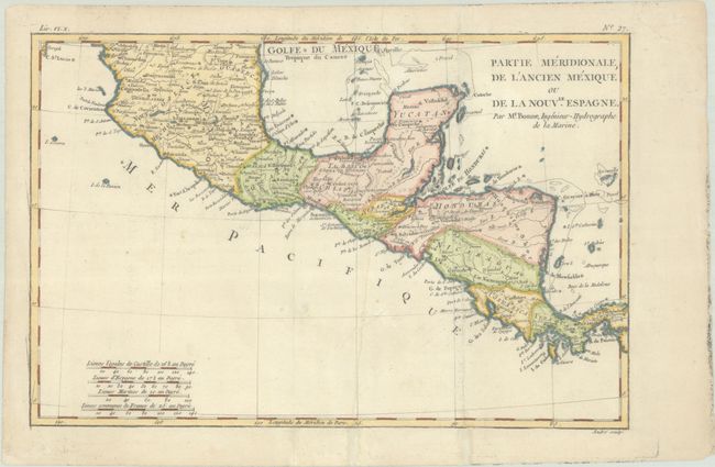
Subject: Southern Mexico & Central America
Period: 1780 (circa)
Publication: Atlas de Toutes les Parties Connues du Globe Terrestre
Color: Hand Color
Size:
12.6 x 8.4 inches
32 x 21.3 cm
Download High Resolution Image
(or just click on image to launch the Zoom viewer)
(or just click on image to launch the Zoom viewer)