Catalog Archive
Auction 203, Lot 709

"New Holland and Asiatic Isles", Thomson, John

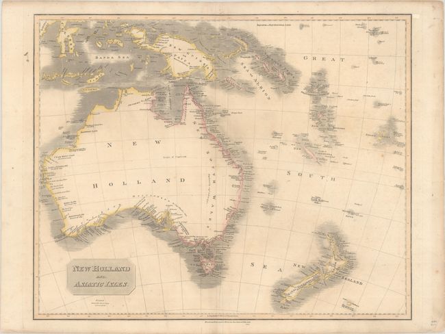
Subject: Australia & New Zealand

Period: 1814 (dated)

Publication: Thomson's New General Atlas

Color: Hand Color

Size:
24.4 x 19.8 inches
62 x 50.3 cm
Download High Resolution Image
(or just click on image to launch the Zoom viewer)

A large map of the Australasia region, presenting Australia with a completed southern coastline, which was "Discovered by Capt. Flinders 1802" and Discovd. by Capt. Grant 1800." There is good coastal detail on most of the Australia, though the interior is virtually blank. The map extends to include New Zealand, the Solomon Islands, New Guinea, and more.

References:

Condition: B+

A nice impression with minor toning, faint creasing adjacent to the centerfold, and a short archivally repaired fold separation at bottom.

Estimate: $300 - $375

Sold for: $220

Closed on 4/23/2025

Archived