Catalog Archive
Auction 203, Lot 566

NO RESERVE

"Map of Greece and the Grecian Islands for the Travels of Anacharsis", Barbie du Bocage, Jean Denis
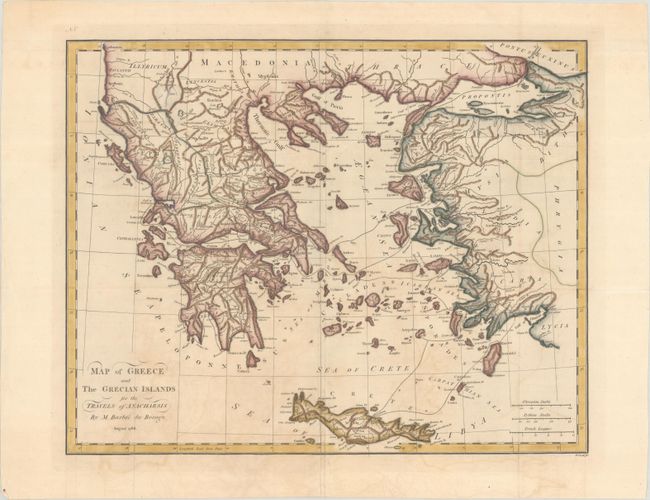
Subject: Greece

Period: 1788 (dated)

Publication: Travels of Anacharsis the Younger in Greece

Color: Hand Color

Size:
17 x 13.4 inches
43.2 x 34 cm
Download High Resolution Image
(or just click on image to launch the Zoom viewer)

This detailed map of Greece, the islands of the Aegean Sea, and the adjacent coastline of Turkey illustrates the imaginary travels of Anacharsis the Younger in Greece. Crete is shown at the bottom of the map. The map is based on the cartography of D'Anville, whose work Bocage cataloged in the Bibliotheque Nationale. Engraved by T. Cook. This map was published in the English edition of Jean Jacques Barthelemy's Recueil de Cartes Geographiques Plans, Vues et Medailles de l'Ancienne Grece, Relatifs au Voyage du Jeune Anacharsis, first published in French in 1788.

References: Shirley (BL Atlases) G.BART-2a #1.

Condition: B+

Issued folding, now pressed, with light offsetting and a small abrasion in top left corner.

Estimate: $90 - $110

Sold for: $60

Closed on 4/23/2025

Archived