Catalog Archive
Auction 203, Lot 562
"Sclavonia, Croatia, Bosnia cum Dalmatiae Parte. Auct. Ger. Mercatore", Blaeu, Willem
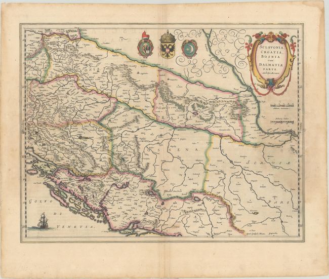
Subject: Western Balkans
Period: 1635 (circa)
Publication: Le Theatre du Monde ou Nouvel Atlas...
Color: Hand Color
Size:
19.7 x 15.2 inches
50 x 38.6 cm
Download High Resolution Image
(or just click on image to launch the Zoom viewer)
(or just click on image to launch the Zoom viewer)