Catalog Archive
Auction 203, Lot 533
"Austria Archiducatus Auctore Wolfgango Lazio", Hondius, Henricus
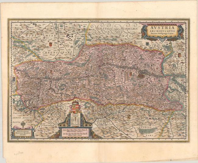
Subject: Eastern Austria
Period: 1633 (published)
Publication:
Color: Hand Color
Size:
21.1 x 14.4 inches
53.6 x 36.6 cm
Download High Resolution Image
(or just click on image to launch the Zoom viewer)
(or just click on image to launch the Zoom viewer)