Catalog Archive
Auction 203, Lot 416

"Les Royaumes de Suede et Norwege Divises par Provinces et Gouvernements Dresses et Assujettis aux Observations Astronomiques", Janvier/Santini

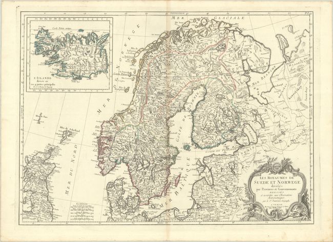
Subject: Scandinavia & Iceland

Period: 1749 (circa)

Publication:

Color: Hand Color

Size:
25.3 x 18.3 inches
64.3 x 46.5 cm
Download High Resolution Image
(or just click on image to launch the Zoom viewer)

This handsome map focuses on Norway and Sweden. It is based on the Robert de Vaugondy map of the same title, but it is expanded to also cover Scotland, Denmark, Finland, and the Baltic states, with parts of Poland, Prussia, and Russia. The coastlines are well-drawn to illustrate the fjords and harbors, and inland the mountains, rivers, lakes and forests are equally detailed. There is a large inset of Iceland at top left. This edition was published by Santini's successor, Giuseppe Antonio Remondini.

References:

Condition: B+

A crisp impression with contemporary outline color on a bright sheet with a "R" watermark. There is light toning along the centerfold.

Estimate: $160 - $190

Sold for: $120

Closed on 4/23/2025

Archived