Catalog Archive
Auction 199, Lot 39
NO RESERVE
"Mappe-Monde, sur le Plan de l'Equateur, Hemisphere Septentrional", Bonne, Rigobert
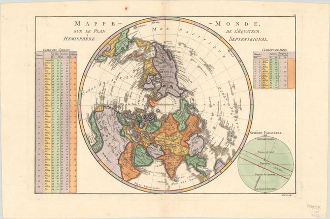
Subject: North Pole
Period: 1785 (circa)
Publication:
Color: Hand Color
Size:
13.6 x 9.3 inches
34.5 x 23.6 cm
Download High Resolution Image
(or just click on image to launch the Zoom viewer)
(or just click on image to launch the Zoom viewer)