Current Auction
Lot 78
Current Auction

NO RESERVE

"North America", Chambers, William & Robert

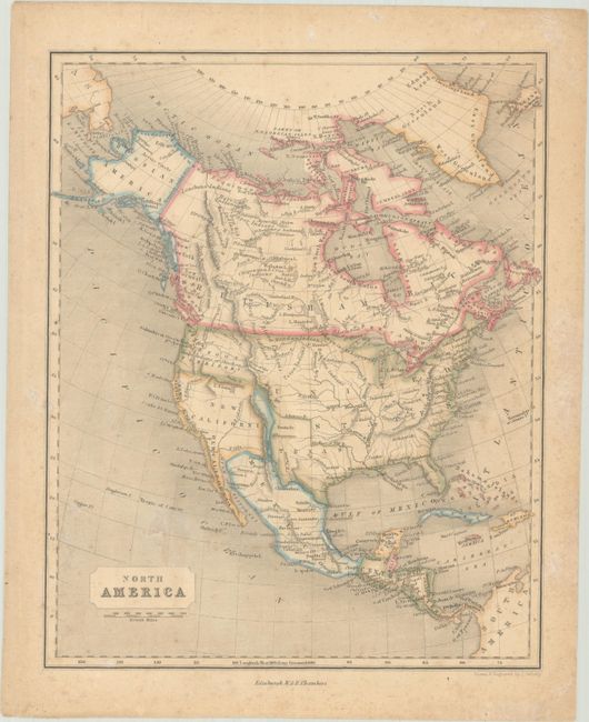
Subject: North America

Period: 1846 (circa)

Publication:

Color: Hand Color

Size:
8.3 x 10.2 inches
21.1 x 25.9 cm
Download High Resolution Image
(or just click on image to launch the Zoom viewer)

This handsome atlas map of the continent was drawn and engraved by J. Gellatly. Texas is in its largest configuration, with portions of New Mexico and Colorado within its boundaries. The west is comprised of Oregon Territory and New California. The border with Mexico is pre-Gadsden Purchase, with the border south of the Gila River. Alaska is Russian America, with its border with Canada established in 1825. The map appeared in the Chambers' Atlas of Ancient and Modern Geography and Atlas for the People.

References:

Condition: B+

Contemporary outline color on a lightly toned sheet with light foxing.

Estimate: $90 - $120

Sold for: $95

Closed on 4/24/2024

Closed