Catalog Archive
Auction 197, Lot 662
"A Map of India, on the West Side of the Ganges, Comprehending the Coasts of Malabar, Cormandel, and the Island Ceylon", Bowen, Emanuel
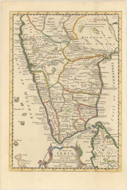
Subject: Southern India
Period: 1744 (circa)
Publication: John Harris' Navigantium Atque Itinerantium Bibliotheca...
Color: Hand Color
Size:
9 x 12.8 inches
22.9 x 32.5 cm
Download High Resolution Image
(or just click on image to launch the Zoom viewer)
(or just click on image to launch the Zoom viewer)