Catalog Archive
Auction 197, Lot 660

"Nouvelle Carte du Royaume de Bengale", Bellin, Jacques Nicolas

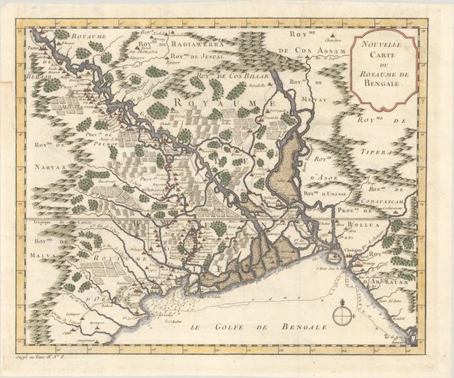
Subject: Northeastern India & Bangladesh

Period: 1761 (circa)

Publication: Histoire Generale des Voyages…

Color: Hand Color

Size:
13.4 x 11 inches
34 x 27.9 cm
Download High Resolution Image
(or just click on image to launch the Zoom viewer)

This finely engraved map of the Kingdom of Bengal extends from Baleshwar, India to Sandwip Island, Bangladesh. The Ganges River is prominently shown crossing the map, and numerous towns are depicted, including Decca (Dhaka) and Ougli (Kolkata). The map also gives great detail of the mountains, forests and farmlands. A note along the coastline warns that it is not well known and extremely dangerous.

References:

Condition: A

A crisp impression issued folding on a sheet with a bunch of grapes watermark. There is a binding trim in the top left margin that has been replaced with old paper.

Estimate: $110 - $140

Unsold

Closed on 4/24/2024

Archived