Catalog Archive
Auction 197, Lot 657

"Partie de l'Isle Sumatra, ou se Trouve l'Etablissement Anglais de la Baye de Sellabar, Pres Bencoule...", Tardieu, Ambroise

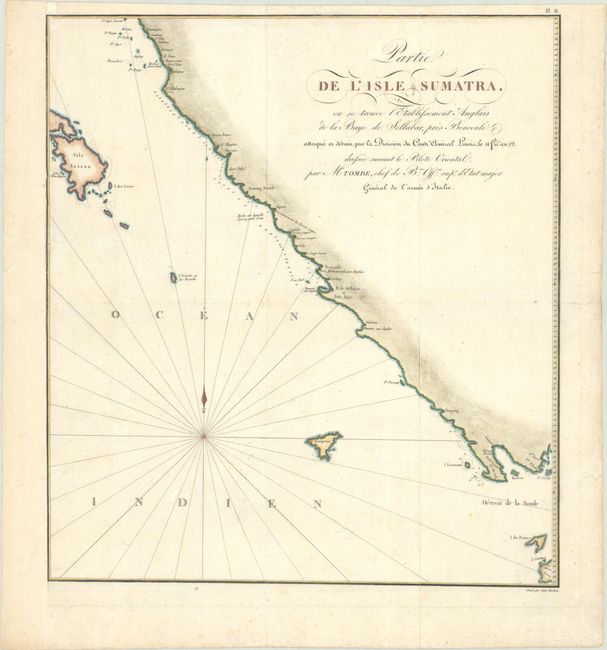
Subject: Western Sumatra

Period: 1811 (circa)

Publication: Voyage aux Indes Orientales

Color: Hand Color

Size:
15.3 x 17.1 inches
38.9 x 43.4 cm
Download High Resolution Image
(or just click on image to launch the Zoom viewer)

This handsome and uncommon chart of the western coast of Sumatra appeared in the atlas volume of Charles Francois Tombe's Voyage aux Indes Orientales, an account of French colonial possessions in the Indian Ocean and East Indies. It centers on Bencoule (Benkulu), extending north to the vicinity of Indrapura and south to the tip of Java. Small neighboring islands are located, the largest of which is Isle Nassau (South Pagai). An English fort is noted just south of Benkulu. Soundings and hazards appear along the coast. Engraved by Tardieu.

References:

Condition: B+

A crisp impression issued folding, now flat, on a watermarked sheet that has been remargined at left with old paper. There is light foxing and three short scratches in the paper just below the title.

Estimate: $200 - $230

Unsold

Closed on 4/24/2024

Archived