Catalog Archive
Auction 197, Lot 549

"Archiducatus Austriae Inferioris Accuratissima Tabula Cujus Ditiones in suos Quadrant", Seutter, Matthias

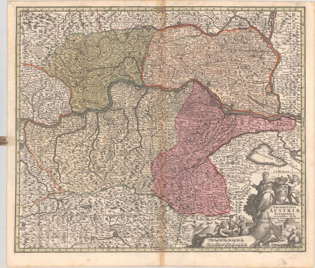
Subject: Eastern Austria

Period: 1740 (circa)

Publication:

Color: Hand Color

Size:
22.9 x 19.3 inches
58.2 x 49 cm
Download High Resolution Image
(or just click on image to launch the Zoom viewer)

This large and boldly engraved map centers on St. Polten and details Lower Austria along the course of the Danube River. The map extends as far south as Pinkafeld and west to Enns and Steyr. Excellent detail features the mountains, forests, rivers, roads, villages, and fortified cities. The large and very decorative allegorical cartouche is surrounded with cherubs, putti, a river god, and a coat of arms.

References:

Condition: B+

A sharp impression with full contemporary color on a bright, sturdy sheet with toning along the centerfold and minor marginal soiling. This example has a tab added to the left margin to help locate the map when bound in an atlas.

Estimate: $200 - $230

Unsold

Closed on 4/24/2024

Archived