Catalog Archive
Auction 197, Lot 485

"Regni Galliae seu Franciae et Navarrae Tabula Geographica in Usum Elementorum Geographicae Schazianorum Accommodata", Homann Heirs
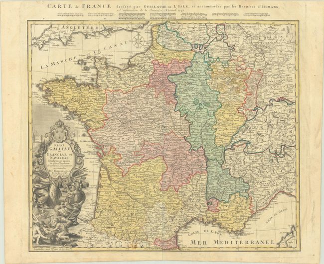
Subject: France

Period: 1741 (dated)

Publication:

Color: Hand Color

Size:
21.9 x 18.7 inches
55.6 x 47.5 cm
Download High Resolution Image
(or just click on image to launch the Zoom viewer)

An attractive map of France based upon the geography of Guillaume Delisle and updated by the Homann firm. It is highly detailed throughout with political boundaries, cities and towns, lakes, rivers, topography and more. Decorated by a compass rose in the English Channel and an ornate title cartouche featuring the coat of arms, weapons, soldiers, and children harvesting grapes. A secondary title in French along with distance scales appear above the top border.

References:

Condition: B+

A crisp impression with some minor staining along the bottom border. There is minor soiling in the blank margins.

Estimate: $140 - $170

Sold for: $50

Closed on 4/24/2024

Archived