Subject: Eastern Belgium & Western Germany
Period: 1556 (published)
Publication: Cosmographei oder Beschreibung aller Länder
Color: Hand Color
Size:
5.4 x 3.8 inches
13.7 x 9.7 cm
Sebastian Munster (1489 - 1552) was one of the three most renowned cartographers of the sixteenth century, along with Mercator and Ortelius. Munster's Geographia and Cosmographia Universalis were two of the most widely read and influential books of the period. His editions of Ptolemy's Geographia, published between 1540 and 1552, were illustrated with 48 woodcut maps, the standard 27 Ptolemaic maps supplemented by 21 new maps. These new maps included a separate map of each of the known continents and marked the development of regional cartography in Central Europe. The antique geography was a prelude to Munster's major work, the Cosmographia, which was published in nearly 30 editions in six languages between 1544 and 1578 and then was revised and reissued by Sebastian Petri from 1588 to 1628. The Cosmographia was a geographical as well as historical and ethnographic description of the world. It contained the maps from the Geographia plus additional regional maps and city views with nearly 500 illustrations which made it one of the most popular pictorial encyclopedias of the sixteen century.
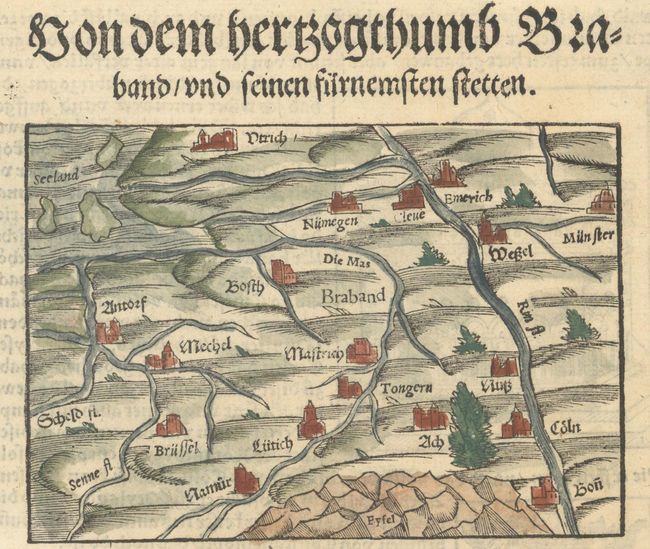
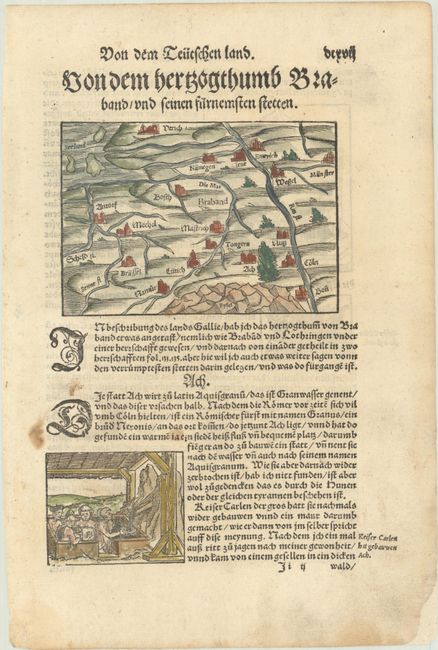
This map is centered approximately on Maastricht, extending west to Brussels and Antwerp and east to the German cities of Munster, Cologne and Wesel. The Rhine River and the Eifel mountain range are prominently shown. On a sheet of German text that measures 8.3 x 12.5".
References: Shirley (BL Atlases) T.MUN-1f #66.
Condition: A
A nice example with marginal soiling, a couple of stains in the text below the map, and an archivally repaired chip at bottom right.