Catalog Archive
Auction 197, Lot 381

"Mapa y Planta del Rio de la Plata Leventada y Emendada Novamente por los Pilotos del Rey... / Carte Hydrographique de la Riviere de la Plata (Riviere d'Argent)...", Bellin, Jacques Nicolas

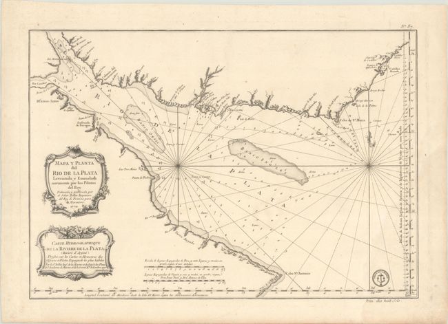
Subject: Rio de la Plata

Period: 1770 (dated)

Publication:

Color: Black & White

Size:
21.9 x 15.2 inches
55.6 x 38.6 cm
Download High Resolution Image
(or just click on image to launch the Zoom viewer)

This chart details the mouth of the Rio de la Plata, extending from Cabo San Antonio in Argentina to Castillos in Uruguay. Numerous rivers are identified along the coastline, although only a few cities are shown, including Buenos Aires, Ensenada de Baragan, and Montevideo. The bay is filled with soundings, anchorages, and shoals. Adorned with two decorative rococo-style title cartouches in Spanish and French. This is a Depot de la Marine issue, with the engraved stamp and the price of dix huit sols at bottom right.

References:

Condition: B+

A crisp impression on a thick, watermarked sheet with a faint dampstaining at bottom right.

Estimate: $200 - $230

Sold for: $125

Closed on 4/24/2024

Archived