Catalog Archive
Auction 197, Lot 185

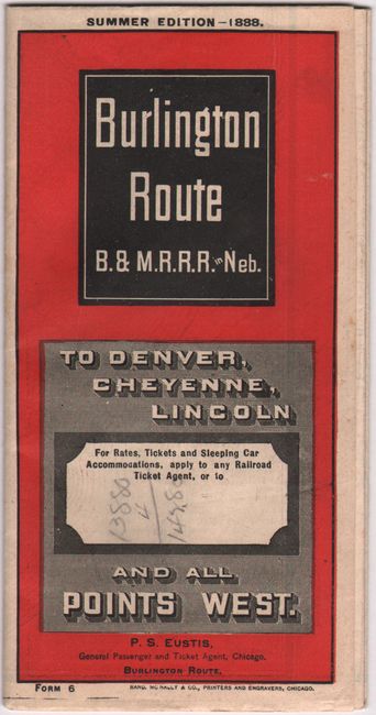
"Correct Map of the "Burlington Route" B. & M. R. R. R. in Neb. and Connecting Lines", Railroad Companies, (Various)

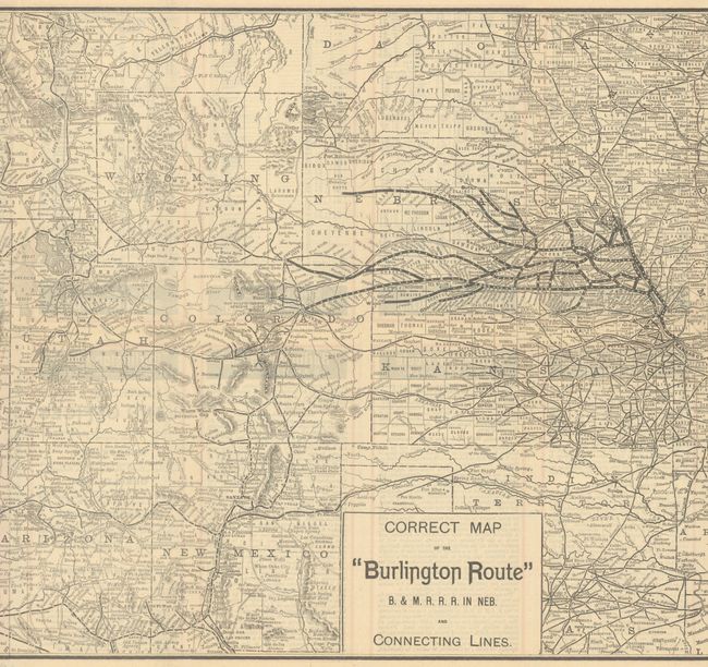
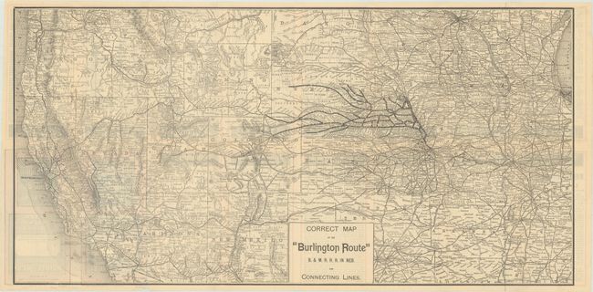
Subject: Western United States

Period: 1888 (dated)

Publication:

Color: Black & White

Size:
26.6 x 13.3 inches
67.6 x 33.8 cm
Download High Resolution Image
(or just click on image to launch the Zoom viewer)

This map covers the western half of the country, extending from Chicago to the Pacific Ocean. It highlights the route of the Burlington & Missouri Railroad in bold black line extending from Omaha south to Kansas City and points west as far as Lincoln, Denver and Cheyenne. Connecting railroads are shown in thin black line and extend to the West Coast including Los Angeles, San Francisco and Portland. Related text on verso. Self-folding (3.5 x 7.0"). Printed by Rand-McNally.

References:

Condition: A

Issued folding with a few short splits at the fold junctions.

Estimate: $160 - $190

Unsold

Closed on 4/24/2024

Archived