Subject: Colonial Southeastern United States & Bahamas
Period: 1771 (published)
Publication:
Color: Hand Color
Size:
23.5 x 17.1 inches
59.7 x 43.4 cm
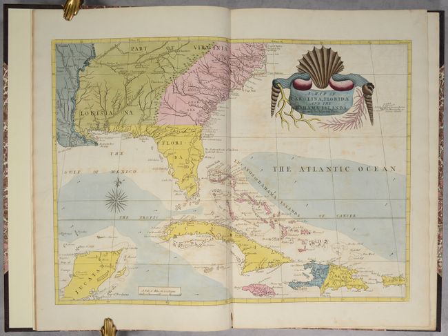
This unique volume includes the map and text from volumes I and II of the third edition of Catesby's The Natural History of Carolina, Florida, and the Bahama Islands, the first natural history of American flora and fauna. The map shows the area from just beyond the Mississippi River to Cape Charles in the north, and in the south from the Yucatan Peninsula through Cuba and the Bahamas to Puerto Rico. It is among the earliest maps on which Georgia appears. The map is based in part on John Barnwell's manuscript map of circa 1722 and presents a great deal of information on the location of French, Spanish, Indian and English settlements and details not found on earlier printed maps. It also derives from Henry Popple's great map of 1733. Like the delightful drawings that appeared in Catesby's work, the striking title cartouche is composed of shells and coral.
This is the second state of the map with the color scheme altered to show the political changes of the Treaty of Paris in 1763. On the first state (published between 1733-54), French Louisiana, on both sides of the Mississippi, was colored green. On the second state (1771-c.1815), the territory east of the Mississippi is colored green showing the part of Louisiana that had been acquired by Britain; the territory to the west, which now belonged to Spain, is colored blue. The English versions of this map, in any edition, rarely appear on the market.
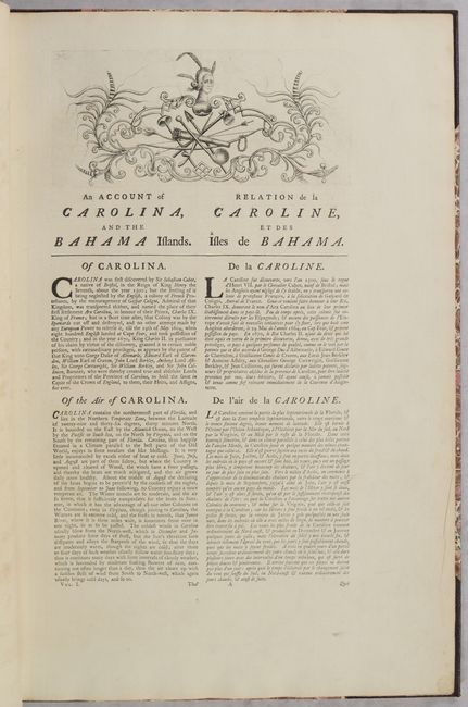
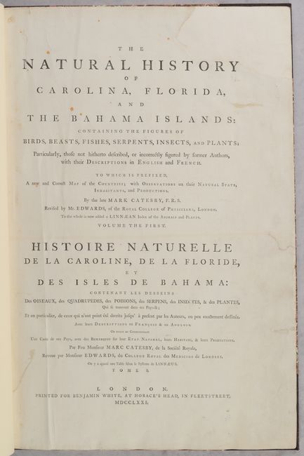
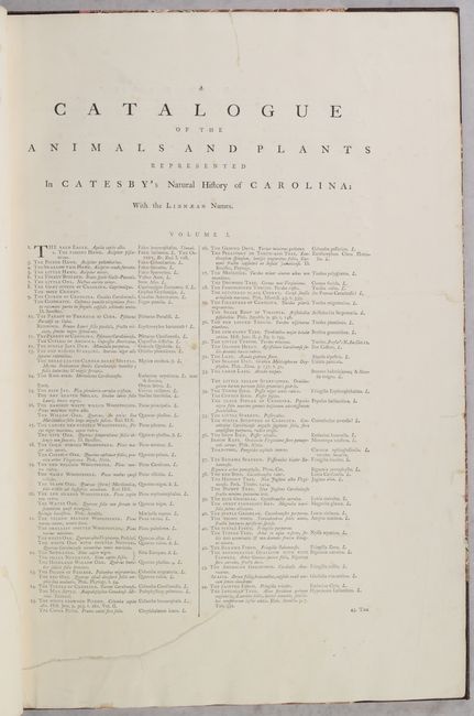
The map is handsomely bound with the title page and catalogue of plates from Volumes I and II, the 7-page preface from Volume I, the 44-page text from Volume I, and the 6-page, tri-lingual index from Volume II. Rebound in quarter leather with tips over marbled-paper covered boards, with raised bands and red leather title label on spine.
References: Cumming (SE) #210; Sabin #11509; Schwartz & Ehrenberg pp. 151-21.
Condition: B+
The map is a dark impression with full contemporary color on a bright sheet of hand-laid paper with a Strasbourg lily watermark, light offsetting, and a short centerfold separation confined to the bottom margin. The text is clean and bright with minor occasional soiling. The catalogue of plates from both volumes has light foxing, and the catalogue from volume I has a professionally repaired tear that enters the text at bottom. The title pages are lightly soiled and the title page from volume I has a large repaired chip at top right and several small repaired edge tears. The modern binding is in excellent condition with some minor abrasions.