Subject: Atlases
Period: 1800 (circa)
Publication:
Color: Hand Color
Size:
17.3 x 21.2 inches
43.9 x 53.8 cm
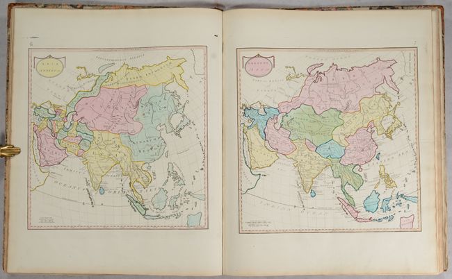
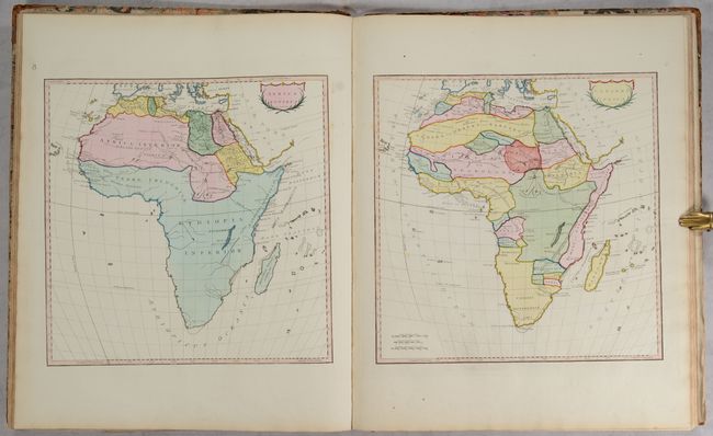
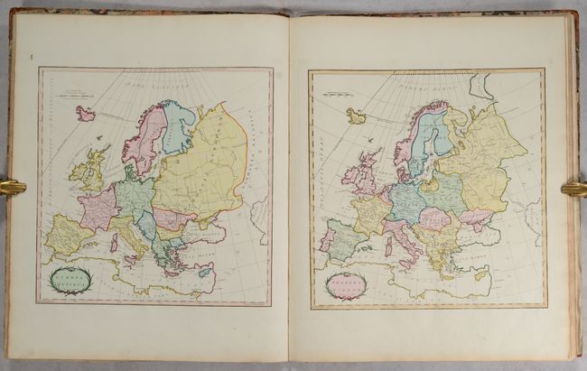
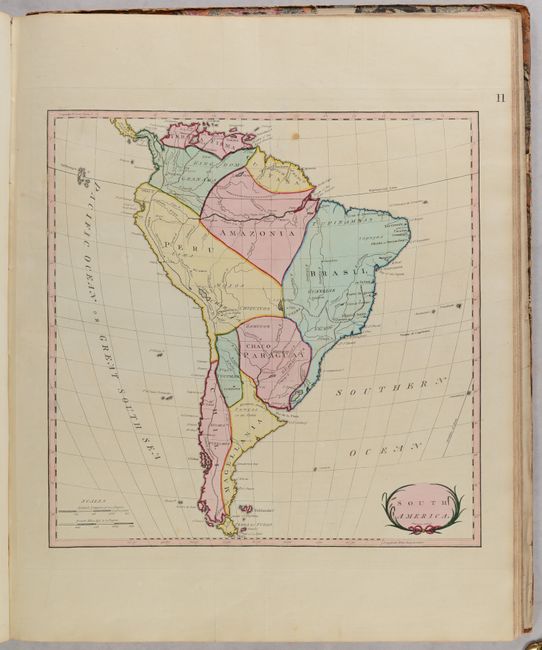
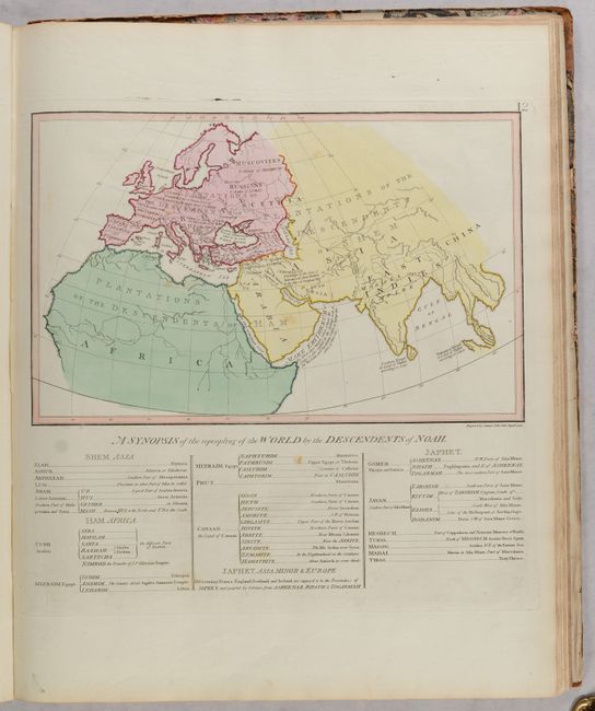
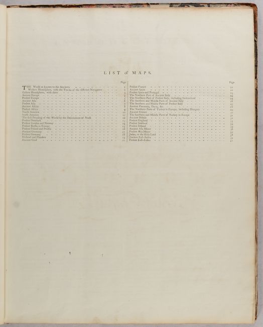
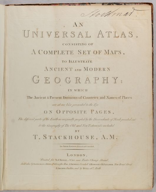
This interesting atlas includes ancient and modern maps presented side-by-side to allow readers to visualize how knowledge of the region, political boundaries, and nomenclature have changed over time. The atlas is complete with 40 maps engraved by Samuel Neele, a title page, a dedication to George, Prince of Wales, a list of subscribers, an index, and an introduction. The ancient maps are credited to the work of Cellarius, Cluver, and D'Anville, and Stackhouse claims that "nothing has been omitted that could render this Atlas of Ancient and Modern Geography much more correct and perfect, than any thing of the sort that went before it." Included are maps of the world, continents, countries in Europe, Turkey, Holy Land, East Indies, and a map of the ancient world showing the "Repeopling of the world by the descendents of Noah." Of particular interest are the following maps:
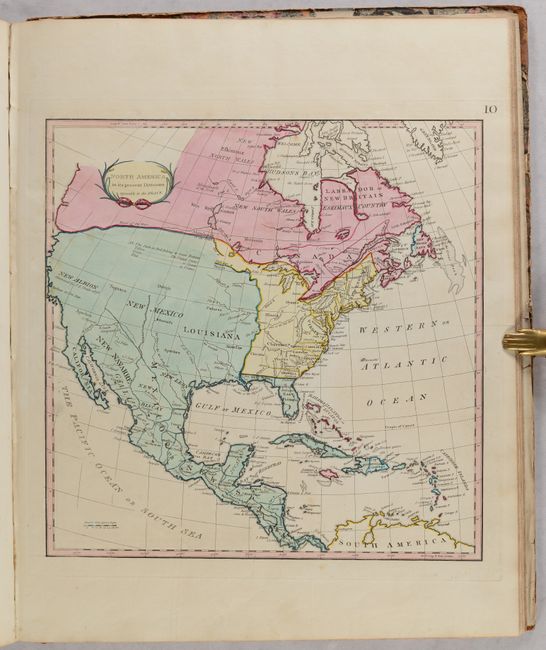
The map of North America, North America in its Present Divisions, agreeable to the Peace, shows the new United States east of the Mississippi River. The divisions are noted in color for the United States (yellow), Britain (red), Spain (green), and France (blue). The fictional River of the West is shown in a dotted line extending from the West Coast to Lake Winnipeg. When this map was first published in 1783 it bore the date of April 10, 1783 in the publisher's imprint, less than five months prior to the signing of the Treaty of Peace, making it one of the first maps to show the political divisions of North America following the Revolutionary War. This later edition omits the publisher's imprint but remains otherwise the same.
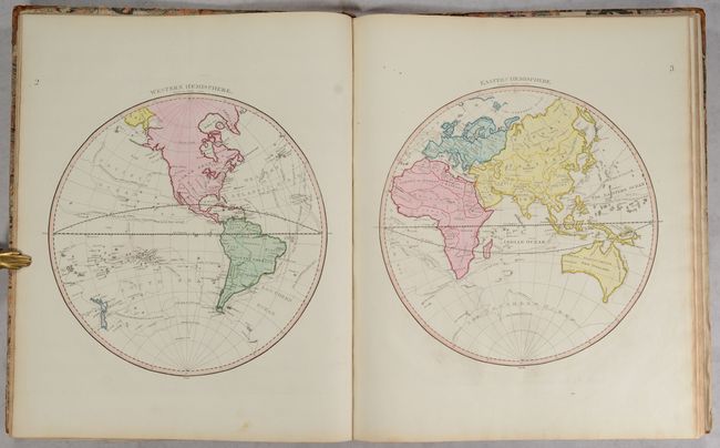
The world map is shown in hemispheres and shows the tracks of several explorers, including Wallis, Anson, and Cook. Minimal geographic detail is shown within each continent, as the introduction encourages readers to reference individual maps of the continents for more specific information. Tasmania is still attached to Australia, a remnant of Company's Land still appears northeast of Japan, and the only reference in the Antarctic Ocean is a notation of "Mountains of Ice" south of South America.
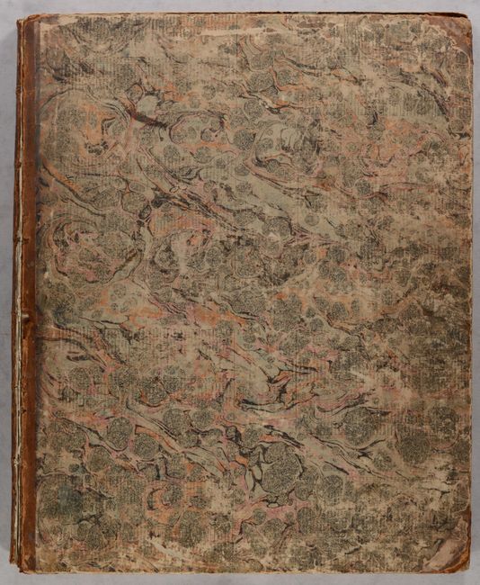
Elephant folio. Maps are still bound together and attached to spine, however covers are completely detached (but present). Covers are in quarter leather with tips over marbled-paper boards. The spine has raised bands, gilt tooling, and a red leather title label.
References: cf. Shirley (BL Atlases) T.STA-1a.
Condition: A
Condition grade is for the maps, which are clean and bright with full contemporary color and occasional minor soiling. The title page has light soiling and an old manuscript ink notation at top, the dedication page has minor foxing, and the list of subscribers has show-through of the dedication page. A previous owner's bookplate is on the inside front cover. The text block is still bound and attached to the spine, however the back free endpaper is partially detached. The covers are completely detached and are heavily worn and abraded. The spine is also heavily worn with cracking. This atlas is an excellent candidate for rebinding.