Catalog Archive
Auction 196, Lot 655

"Terre de Kerguelen, Appellee par M. Cook, Isle de la Desolation [on sheet with] Plan du Port Palliser... [and] Plan du Havre de Noel...", Bonne, Rigobert

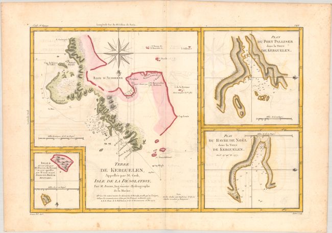
Subject: Kerguelen Islands

Period: 1787 (circa)

Publication: Atlas Encyclopedique

Color: Hand Color

Size:
13.7 x 9.3 inches
34.8 x 23.6 cm
Download High Resolution Image
(or just click on image to launch the Zoom viewer)

This copper engraved map depicts the Kerguelen Islands in the Southern Indian Ocean. It shows the tracks of Captain James Cook who sheltered from a storm at Kerguelen on Christmas Day, 1776. The sheet also includes two additional charts, Plan du Port Palliser, dans la Terre de Kerguelen and Plan du Havre de Noel, dans la Terre de Kerguelen, as well as an inset at bottom left showing two islands discovered by Cook and Marion du Fresne. One of the few maps in the volume drawn by Bonne's son.

References:

Condition: B+

A crisp impression on watermarked paper with light dampstaining and minor offsetting. Light foxing is mostly confined to the blank margins.

Estimate: $70 - $90

Sold for: $50

Closed on 2/7/2024

Archived