Catalog Archive
Auction 196, Lot 550

"Tabula Geographica in qua Integri Ducatus Mediolanensis et Mantuanus; item Ditio Veneta et Comitatus Tyrolensis...", Seutter, Matthias

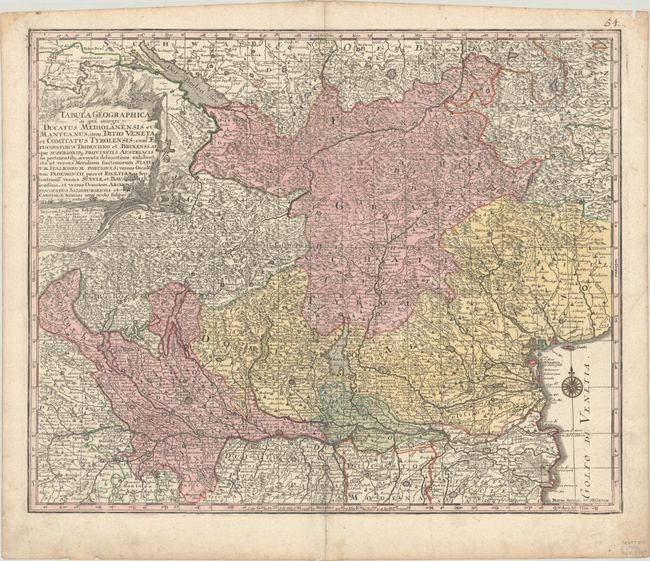
Subject: Northern Italy & Western Austria

Period: 1740 (circa)

Publication:

Color: Hand Color

Size:
22.6 x 18.5 inches
57.4 x 47 cm
Download High Resolution Image
(or just click on image to launch the Zoom viewer)

This densely detailed map covers the region between Lake Constance and the Gulf of Venice, including the western panhandle of Austria and nearly all of northern Italy, extending as far south as Bologna. The map is filled with roads and hundreds of towns, with larger cities depicted as miniature bird's-eye plans. The lovely title cartouche features an army lowering cannons down a cliff by rope and pulley.

References:

Condition: A

A nice impression with full contemporary color on a bright sheet with an old manuscript page number at top right, marginal soiling, and a tiny centerfold separation at bottom.

Estimate: $275 - $350

Sold for: $150

Closed on 2/7/2024

Archived