Catalog Archive
Auction 196, Lot 533
"Nieuwe Kaart van 't Koninkryk Hongaryen en Zevenbergen…", Tirion, Isaac
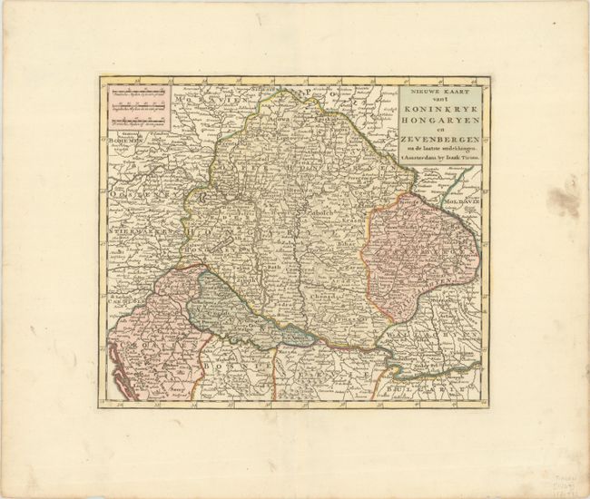
Subject: Southeastern Europe, Hungary
Period: 1769 (circa)
Publication: Nieuwe en Beknopte Hand Atlas
Color: Hand Color
Size:
13.1 x 11.1 inches
33.3 x 28.2 cm
Download High Resolution Image
(or just click on image to launch the Zoom viewer)
(or just click on image to launch the Zoom viewer)