Catalog Archive
Auction 196, Lot 472

"Regnorum Hispaniae et Portugalliae Tabula Generalis ad Statum Hodiernum in suas Provincias Divisa per D.T. Lopez...", Gussefeld/Homann Heirs

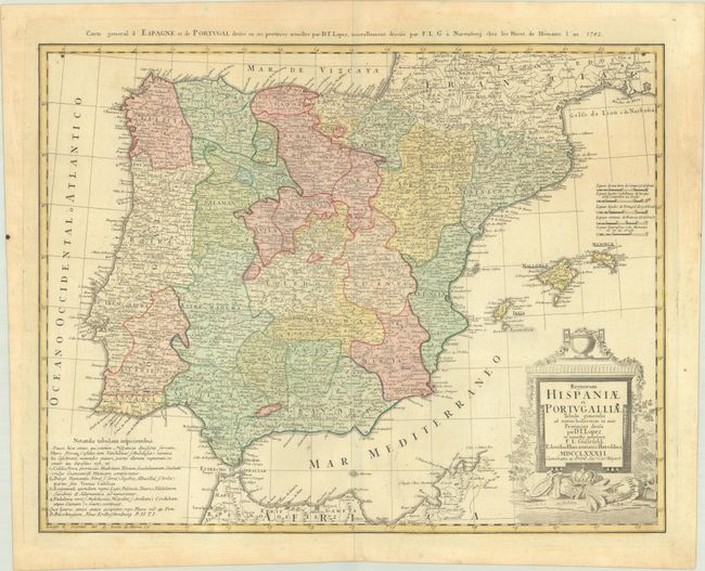
Subject: Spain & Portugal

Period: 1782 (dated)

Publication:

Color: Hand Color

Size:
23.5 x 18.3 inches
59.7 x 46.5 cm
Download High Resolution Image
(or just click on image to launch the Zoom viewer)

This is a later edition of Homann's map of the Iberian peninsula, which extends to include the Balearic Islands and part of the northern coast of Africa. It is filled with detail including scores of towns and villages, rivers, lakes, and early roads. The map features five distance scales, an explanatory table at lower left, and alternate French title above the top border. Adorned by a decorative title cartouche reflecting the wealth and culture of the region.

References:

Condition: B+

A crisp impression with contemporary color and some minor toning.

Estimate: $220 - $250

Sold for: $110

Closed on 2/7/2024

Archived