"Carte du Brabant Dressee sur Plusieurs Cartes Particulieres Manuscrites ou Imprimees Levees sur les Lieux Rectifiees par Quelques Observations et Autres Memoires", Delisle/Covens & Mortier
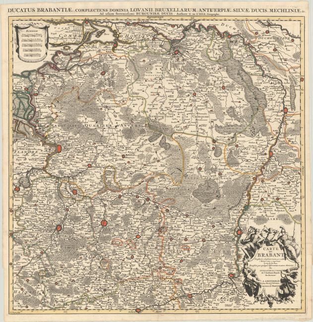
Subject: Northern Belgium
Period: 1730 (circa)
Publication:
Color: Hand Color
Size:
24.8 x 24.9 inches
63 x 63.2 cm
Wonderfully engraved, large and detailed chart of the Duchy of Brabant. Includes much of eastern Belgium, extending to Dendermonde in the west and Namur in the south, and reaching into parts of the Netherlands and Belgium primarily between the Meuse River and the North Sea. The map depicts larger cities as miniature bird's-eye plans, including Brussels, Antwerp, Namur, Liege, Maastricht, and Venlo. There is excellent detail of roads, tiny towns, and topography. The map is adorned with a title cartouche featuring Mercury, Athena and putti, as well as a drape-style distance scale cartouche. Printed on two sheets, joined as issued.
References:
Condition: A+
A sharp impression with contemporary outline color, issued folding on a bright sheet.