Catalog Archive
Auction 196, Lot 427

"Gelriae, Cliviae, Finitimorumque Locorum Verissima Descriptio Christiano Schrot Auctore", Ortelius, Abraham

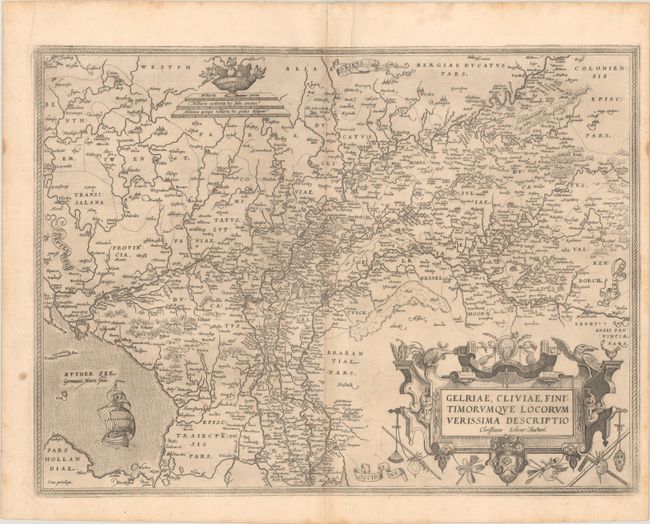
Subject: Southern Netherlands

Period: 1579 (published)

Publication: Theatrum Orbis Terrarum

Color: Black & White

Size:
19.7 x 14.6 inches
50 x 37.1 cm
Download High Resolution Image
(or just click on image to launch the Zoom viewer)

This superb map is Ortelius' first plate covering Gelderland. It is based on Christiaan Sgrothen's map of 1567 and is richly engraved with fine detail particularly along the rivers. The map is oriented with north to the left with ribbon cartouches marking the cardinal directions, and extends as far east as Lingen, Essen and Cologne in Germany. A single large ship sails in the Zuyder Zee, a bowl of fruit sits atop the distance scales, and a painter's implements adorn the large title cartouche. This is the first state, with Latin text on verso.

References: Van den Broecke #61.1.

Condition: B+

A nice impression on watermarked paper with some very faint dampstains along the centerfold and a few small manuscript notations in the image.

Estimate: $250 - $325

Unsold

Closed on 2/7/2024

Archived